


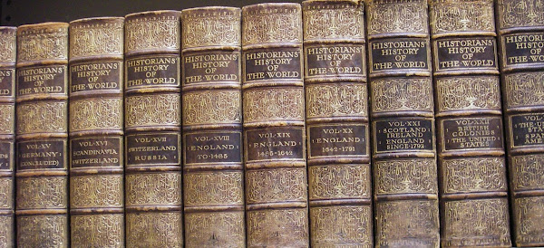
Gathered by Peter Chasseaud from the collection of the Imperial War Museums.
During the years of the First World War, the world saw the rise of technology, including improvements in the making and disseminating of maps. Portable printing units, aerial photographs, and precise measurement became an integral part of strategy, troop placement, bombardment, and even retreats. The number of maps produced was staggering British production alone was more than 34 million maps. Featuring more than 150 maps, this work shows the trenches, troop placement, planning, and even propaganda. The maps are reproduced in high-quality colour, and there is a plethora of accompanying black-and-white photographs. The work includes maps representing all battlefronts, from the Atlantic to the Pacific. .
More than 150 maps (some previously unpublished) demonstrate how World War I was fought around the world -
- Small scale maps show country boundaries and occupied territories.
- Large-scale maps cover the key battles and offensives on all fronts of the war, and trench maps show detailed positions of the front line.
- Maps from newspapers are also included, as well as battle planning and propaganda.
It includes the lesser known African campaigns with one German map which includes an annotation of 'Reserved Football Ground for Tame Englishmen' set in the Sahara Desert.
The book is more than a collection of coloured maps though. Along with the maps, key historical events are described - from the causes of the war to the role of sea & air forces - giving an illustrated history of the war from an expert historian.
As the hype ramps up for the centenary of the Anzac landings at Gallipoli, books such as 'Mapping the First World War" will come into their own.
No comments:
Post a Comment